
Cottage in Sataplia
Cottage
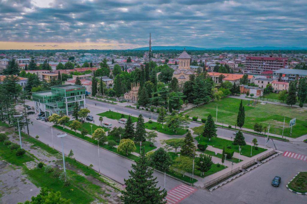
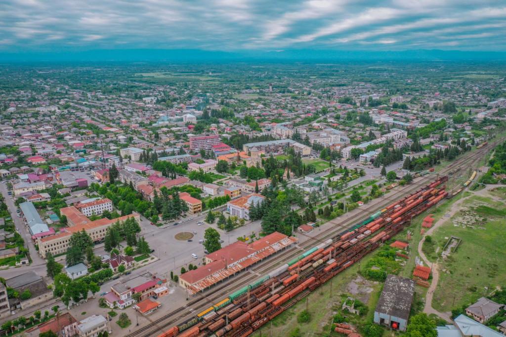
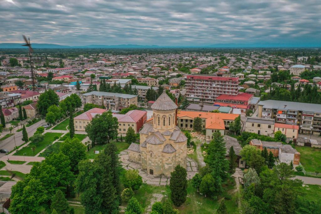
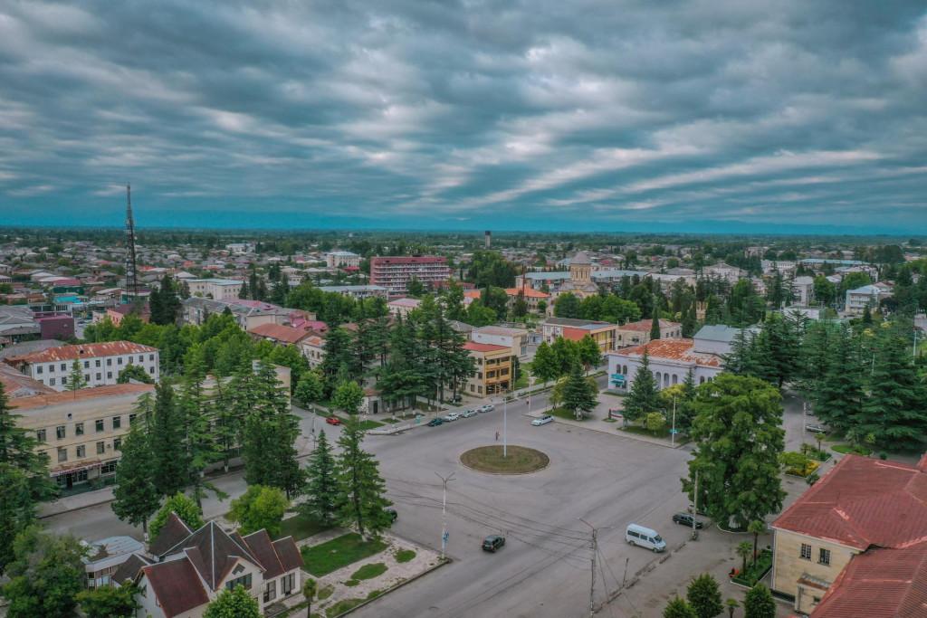
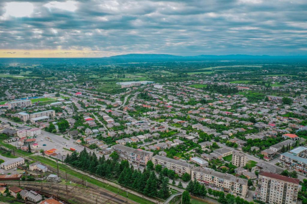
Samtredia in a municipality located in Imereti. This place is also mentioned in ancient historical sources from the second half of the XVIII century as the village of Samtredia. Since 1872, after the Poti-Tbilisi railway has started functioning, it was referred to as Daba Samtredia. There was a time, when the floodplain of the district was a swampy forest. The climate was so bad that nobody wanted to settle there. The construction of the railway has contributed to the development of Samtredia, the marshes were dried up, the forest turned into field and the climate improved. Its transformation into a small town ended in 1999, when the industry grew especially. The territory of the district was previously united with Colchis and Egris, and then with the kingdom of Egris-Abkhazia and the United State of Georgia. Samtredia is a very beautiful district, where we find many interesting cultural monuments. Especially noteworthy are: the Church Of The Blessed Virgin Mary in Vazisubani, the ruins of the XI-XII centuries Telepisi Fortress, the Church of St. George in Gamochinebuli, the Church of Jiktubani, etc. In the district, there are a library, a house of culture, an art gallery and a house-Museum of Niko Nikoladze. The municipality has one local newspaper, “Samtrediis Matsne”.
Samtredia municipality is located in western Georgia, Imereti region, on the right Bank of the Rioni river, where the highway from Kutaisi connects the main roads of Guria and Samegrelo. Its administrative center is the city of Samtredia. The municipality includes the following administrative units: the city of Samtredia, Daba Kulashi, Bashi, Gamochinebuli, Gomi, Gormaghali, Etseri, Melauri, Nabakevi, Epeti, Sajavakho, Tolebi, Ghaniri, Ianeti, Didi Jikhaishi. The district borders the municipalities of Abasha, Lanchkhuti, Vani, Khoni, Tskaltubo and Chokhatauri. The major part of the municipality of Samtredia is located in the Colchis lowland, and a small part is situated on the Sajavakho Plateau. The main river of the district is the Rioni, which divides it into two almost equal parts. Samtredia municipality is located in a humid subtropical climate zone. The average annual temperature is 14° C. The Average temperature in January is + 5° C, and the hottest month, July is + 25°C.
Our guides are ready to help you on this trip

Buy our tours online and explore incredible Georgia!


Help other travelers use your experience.
Review this destination, share your thoughts, impressions, pros and cons.
Let's make traveling easier than ever.
Please login to ask a question
Ask a Question