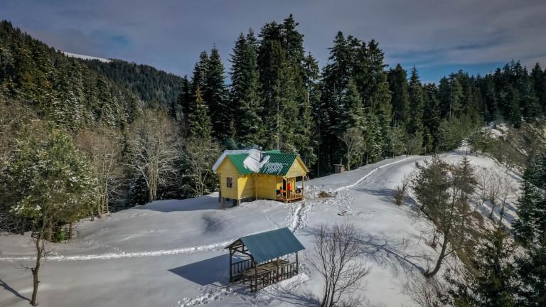
Туристическое убежище горы Ломи
Туристическая хижина


Тропа связывает маршруты Николоза Романова и Андрея Первозванного и необходимы две ночевки в приютах Амарати и Ломисмта. Во время путишествия вы увидите следующие достопримечательности: гора Ломи, церковь Свят. Георгия на горе Ломи, смотровая площадка на вид Кавкасиони, дома пастухов, панорамные виды Малого Кавказа.
посещение национального парка боржоми-харагаули не является бесплатным. для регистрации, бронирования туристического приюта и других услуг свяжитесь / посетите центр посетителей национального парка боржоми-харагаули.
Маршрут начинается с входа в Национальный парк Боржоми-Харагаули и идет по дороге. Тропа пересекает реку с пешеходным мостом. После пешеходного моста вы найдете информационную панель. С информационного щита след продолжается слева и идет в гору с серпантином. вы поднимаетесь весь день, однако есть относительно горизонтальные участки, которые дают вам возможность отдыхать.

Этот день длиннее и сложнее. На тропе вы увидите летние фермы пастухов, где летом держат скот. Тропа поднимается по Ломистме, идет вдоль хребта, соединяется с горой Мегруки ущельем и спускается в Амарати.

Последний день тропы относительно легкий. Тропа спускается весь день и достигает пост охранников Атскхури.
.
Наши гиды готовы помочь вам в этом направлении

Покупайте наши туры онлайн и исследуйте невероятную Грузию!

Помогите другим путешественникам воспользоваться вашим опытом.
Просмотрите этот пункт назначения, поделитесь своими мыслями, впечатлениями, плюсами и минусами. Давайте сделаем путешествие проще, чем когда-либо.


Пожалуйста, войдите, чтобы задать вопрос
Задайте вопросHello,
Can you tell me if horseback riding is possible? indicated in the parameters
Hello, about horseriding in Borjomi-Kharagauli national park, you must contact the park administration. +995 591 88 74 44
Is it possible to hike this trail in mid-April?
Hello, it depends on the snow level. For detailed information you can connect Borjomi-Kharagauli National Park administration via number: +995 591 88 74 44
Thank you for Your answer. I tried to write them through chatbox but have not get any answers so far. Is calling more certain thing to get contact? :)
Hi There, your GPS-Track of sheperds trail has a "non-official" part. From 41.82359°N, 43.13649°E where it leaves the blue blazes until the sheperds hut on 41.84575°N, 43.14219°E where it gets to yellow blazes, there is no path at all, hundreds of fallen trees, dense vegetation and a overgrown creek. Perhaps you should add a warning at least. Official path follows the red blazes from Amarati shelter and continues with yellow blazes north of it. Thank you! :)
Hi Christian, Thank you for reporting the problem. We've not hiked on this track for a long time and there might be some issues. We will take a closer look and fix the problem. Thank you again and have a great time in Georgia
Hi, I have hiked the trail from the Lomismta shelter to the Amarati Shelter and can agree on the statement from Christian. The GPX track is at this part incorrect and not hikable.
The traveller should follow at a shepherds hut the marked yellow trail to the right and hike to the ridge, then follow the red marks to the left and pass mount Megrukhi and Mount Amarati and proceed to the shelter. The way is longer than the GPX track, but with no major technical problems.
The GPX track, as described by other hikers, is at this location unpassable. There are lots of fallen trees, often there is no path, and the ascent is extremely steep.
Please add a warning that the GPX track should not be followed at that spot. Thanks for your support.
Dear Benjamin, Thank you for bringing this up to us. We updated the GPX file and it would be great if you could help on checking whether we got it right?
Thank you in advance