
Village Atabe - Lake Tanie
About Village Atabe - Lake Tanie
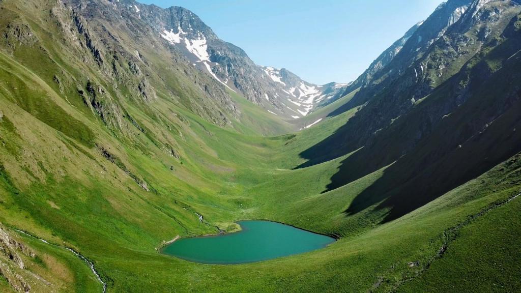
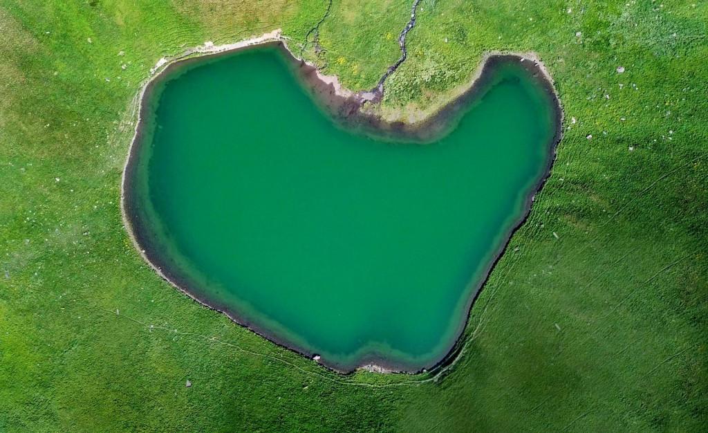
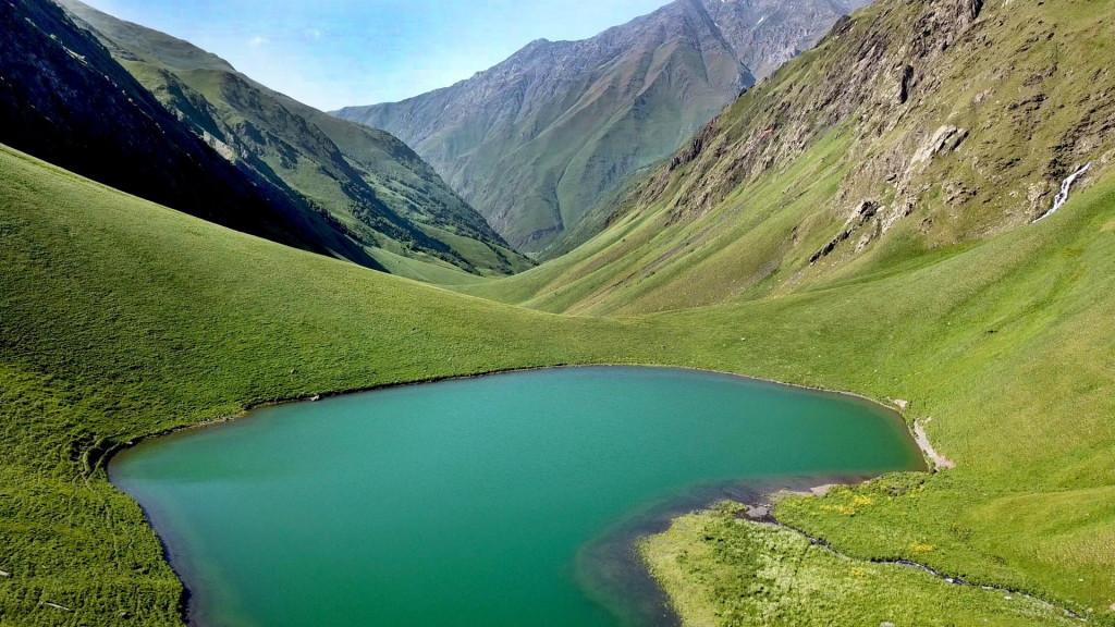
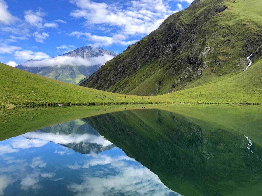
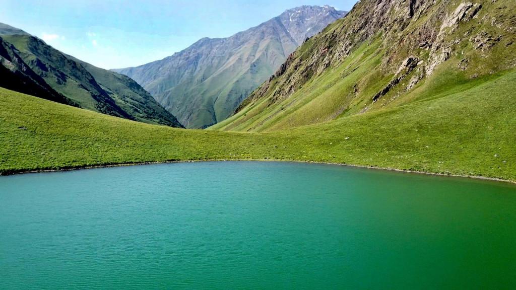
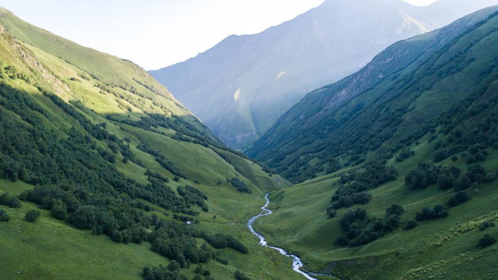
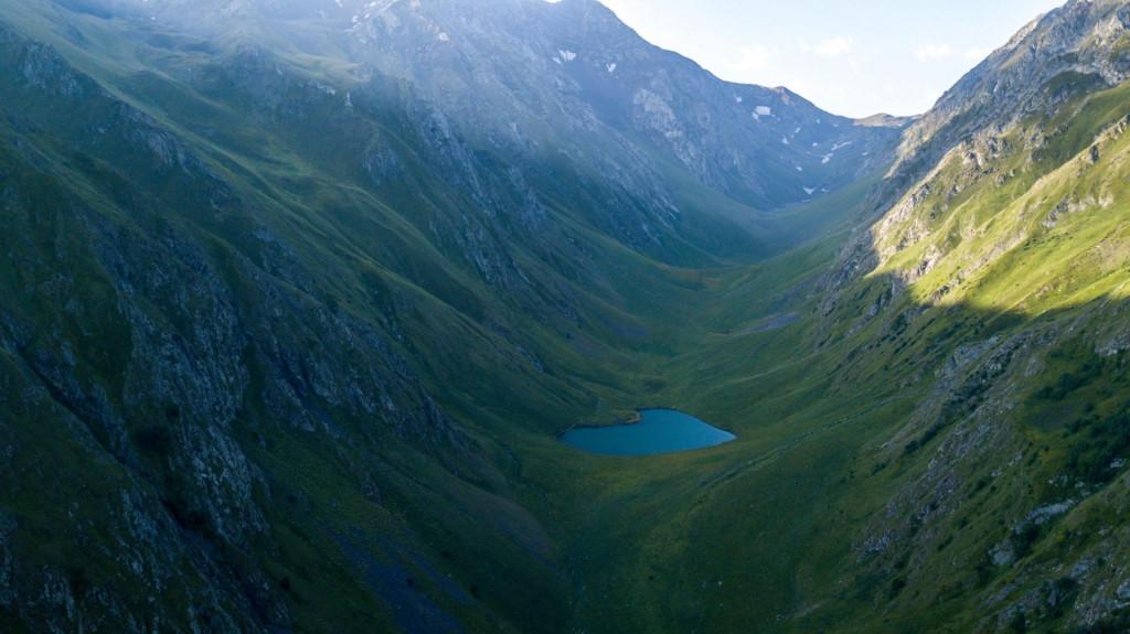
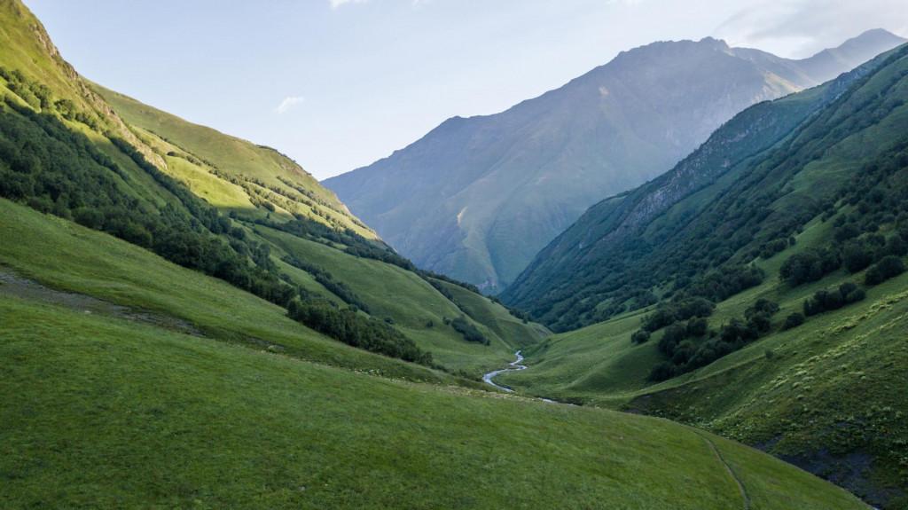
Tanie Lake is located in Khevsureti, in Arkhoti, in the gorge of the river Tanie, in Dusheti municipality. The lake is located between two huge mountains. The lake has the shape of a heart, which makes it more attractive for young people. Lake Tanie has very clean water, because the flow in it is filtered from the ground and rarely spills. In the summer, the water in the lake is quite warm compared to other mountain lakes.
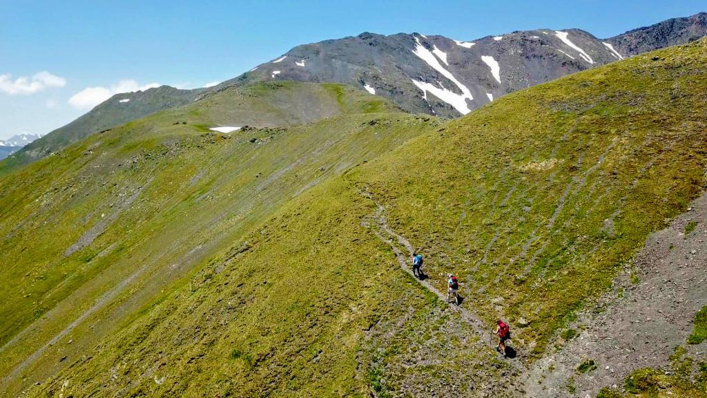
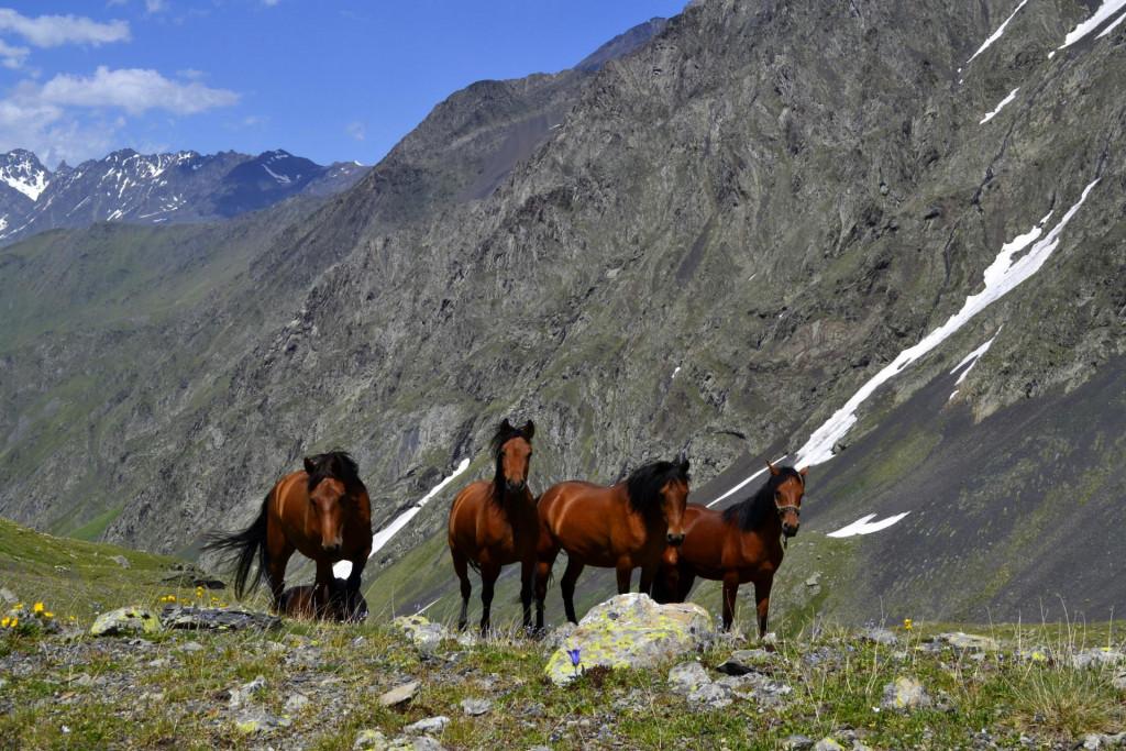
You can reach the lake by horseback riding and hiking trails when the snow cover is low or melted.
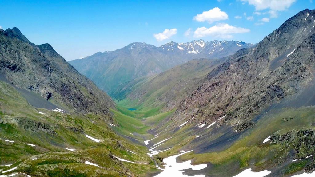
There are several versions of the Tanie Lake route. It is located on a fairly popular hiking trail that runs through the Tanie Valley. However, each route can be selected according to the free days. Visiting the lake takes at least two full days. If you do not have more than two days for this beauty, then your route starts in the village of Ukankhadu, near Atabe and follows the path to Tanie Pass which you will probably reach in the evening. Our recommendation is to camp near the pass, in a watery, windless place, and only land the next day to visit the lake without bags, as the lake is about 5 kilometers from the pass and you have to go quite a long descent that will take you uphill.
That is why it is better to move on this road without bags. You will leave the bags in the camp and when you return, you will have 2-3 hours to go back to where the car is waiting for you. It is noteworthy that the path from Ukankhadu is very difficult and even many experienced hikers mention this ascent sickly, as the distance here is only 6 kilometers and the difference in height is 1200 meters.
However, before you go to visit Tanie Lake, be sure to bring a GPS device or just your phone on which you will record any GPS application and the GPS route you are targeting. It will help you explore the path in the fog, as it is very difficult to orient in the fog in the mountains. If you have never used a GPS app, be sure to read the article on GPS apps.
Offers nearby
Our guides are ready to help you on this trip

Book a tour online!
Buy our tours online and explore incredible Georgia!
Map

Tours In Mtskheta - Mtianeti
ძალიან კარგი ხეობაა მოსანახულებლად, შეეცადეთ რომ აგვისტოში მოხვდეთ, ბილიკებზე თოვლი დიდი პრობლემაა. ამინდი ჩწარა იცვლება და ყველაფრისთვის მზადუნდა იყოთ. უკვე ორჯერ ავედი და მომავალშიკიდევ მოვინახულებ გულიმიგრძნობს.
მოგესალმებით,
პირველ რიგში მინდა მადლობა გითხრათ ასეთი კარგი საიტის შექმნისთვის. მე პირადად ძალიან მეხმარება ახალი მარშრუტების აღმოჩენაში და მათზე ინფორმაციის მიღებაში.
რაც შეეხება ტანიეს მარშრუტს, მინდა გთხოვოთ სირთულის დაკორექტირება, რადგან ნამდვილად არ არის მარტივი, საშუალო სირთულე უფრო შეეფერება. დამეთანხმებით ბევრისთვის არ არის მარტივი 1000 მეტრიანი სიმაღლის აწევა, რაც უკანხადუდან უღელტეხილამდე უწევს.
სირთულის დაკორექტირებას იმიტომ გთხოვთ რომ გამოუცდელმა მოლაშქრეებდა მცდარი წარმოდგენა არ შეიქმნან ამ მარშრუტზე.
P.S თუმცა იქ ასულს ყველაფერი გავიწყდება და თავს სრულ ნეტარებაში გრძნობ.


Please login to ask a question
Ask a Question