
Samtskhe - Javakheti
About Samtskhe - Javakheti
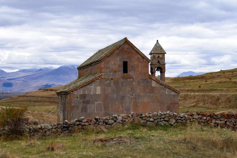
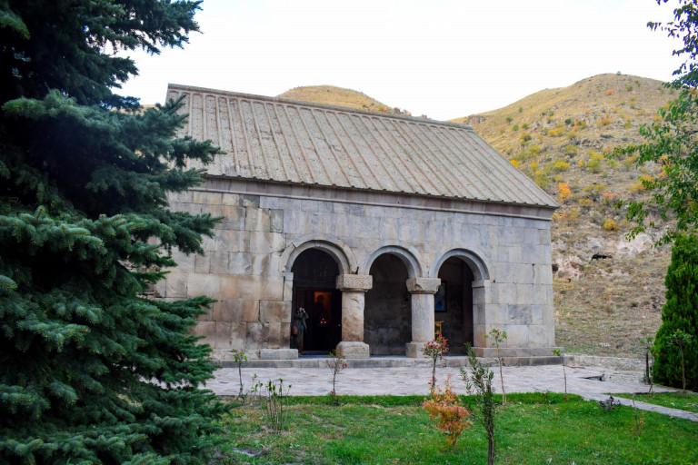
Samtskhe-Javakheti is a region in southern Georgia and covers the territories of Samtskhe-Javakheti and Tori historical-geographical provinces. Akhaltsikhe is the administrative center. The region has a distinctive geographical location which contributes its economic and cultural relations with neighboring states for centuries. Samtskhe-Javakheti is a region of great historical-cultural significance and has kept many Christian or pre-Christian monuments. It is also rich in diverse natural monuments, fossils and resorts.
History
Samtskhe-Javakheti is part of historic Meskheti. Meskheti is a general name for historic Southwest Georgia. The ancient historical Meskheti included the upper part of the Mtkvari valley (Samtskhe, Javakheti, Kola, Artaani, Erusheti) and the whole Chorokhi valley (Clarjeti, Shavsheti, Tao, Speri, Lazeti, Nigali, Asisfori, Tortumi, Basiani). Adjara and Guria were part of Meskheti for some time. The big part of the historical Meskheti territory is considered as the Turkish Republic.
The name of Samtskhe comes from the name of the southern Georgian tribe, the Meskhetians (Meskhi-Sameske-Samtskhe). Its ancient centers are Odzrkhe and Atskuri. Samtskhe was conquered by Turkey in the second half of the 16th century. In 1828-29, part of Samtskhe returned to Georgia, but the territories of Kveliskhevi, Tsurtskabi, Potskhovi and Jakistskali is still within Turkey area.
Javakheti was firstly mentioned as a conquered region in the inscription “Argishti I’’ of the King of Urartu. From ancient times Javakheti was one of the Saeristao of the Kingdom of Kartli. In the 16th century, Javakheti was occupied by the Ottomans along with other parts of southern Georgia. During this period, part of the Georgian population moved to the inner regions of Georgia - Kartli and Imereti. People who didn’t leave the area, were forced to convert to Islam. In the first half of the 19th century, the Russian people and the Armenian population from Turkey settled in Javakheti. Samtskhe-Javakheti is still an ethnically diverse region.
Culture
Samtskhe-Javakheti is one of the distinguished regions of Georgia with cultural diversity. There are many public holidays here (Shotaoba, Vardziaoba, Safaroba, Berikaona, Berobana, Shuamtoba, Jivanoba, etc.), which are associated with the names of famous people and local traditions. The Meskhetian cuisine is different and individual. Except traditional breads, such as Lavashi and Shoti, they bake Somini, Kakala, Ukhas, Bazlama bread.
Meskheti Churchkhela( traditional Georgian sweets) is also different. Meskhetians use mulberry Bakmazi( mulberry cream) instead of Tatara(grape juice with flour). They also make mulberry Tklapi(dried fruits). Without mulberry Tklapi there are no weddings and celebrations in Meskheti. Farming is very popular here, that’s why their cuisine is rich with milk products and meat dishes. The most delicious of Meskhetian cuisine is Tenili cheese. It is a cream cheese kept in a pot. It has a gentle consistency and a very pleasant creamy aroma.
Samtskhe-Javakheti is the only place in Georgia where snails are eaten. Georgia is considered a wine homeland. Meskheti should also be distinguished in terms of winemaking. It is one of the highest viticultural regions not only in Georgia but in the whole world. The vine here is 900-1700 meters above sea level.
There is not much information about the clothes of Meskheti. As it is known, Meskhetian clothes changed according to the epochs. It was greatly influenced by Ottoman and Armenian culture. The Georgian ethnographer, Sergi Makalatia, describes the low-class Meskhetian woman's dress as: "The women wore a skirt with lap, inside a dress, a red shirt with silver buttons. They wore a" Zubun "shirt. The women wore long trousers with embroidered trousers with colored strings. Meskheti women wore a cover in front of dress which was called "Petemali". There isonly one copy of a woman dresses in the historical museum of Samtskhe-Javakheti. It is nineteenth century ceremonial dress, which belonged to a noble woman.
Geography and climate
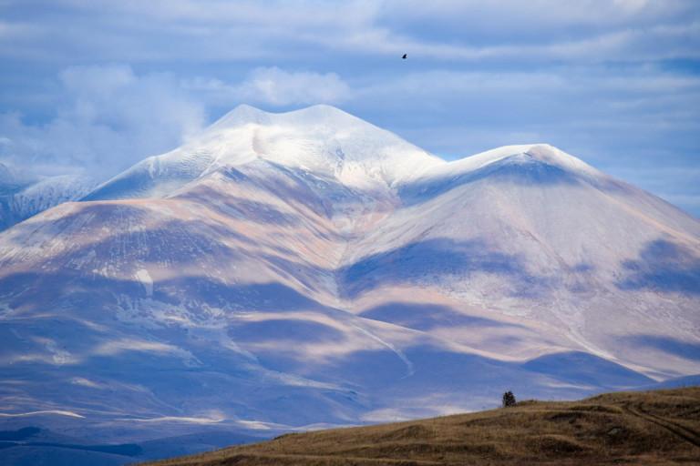
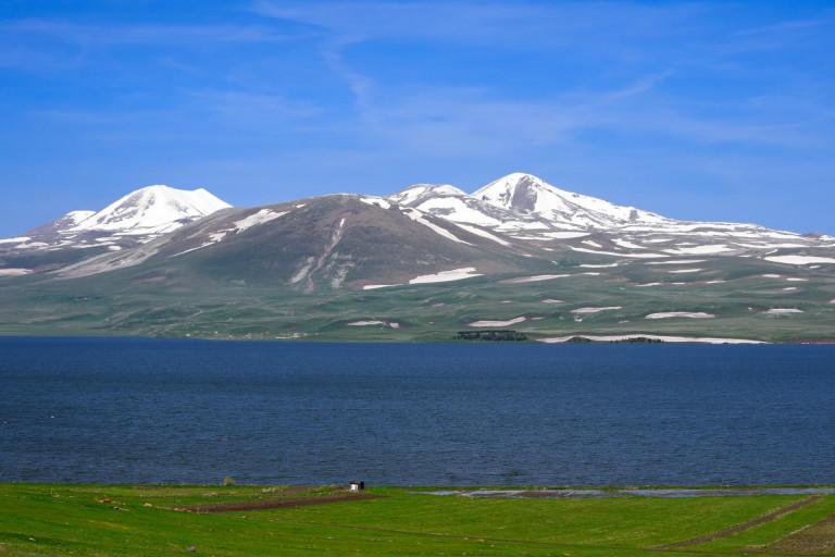
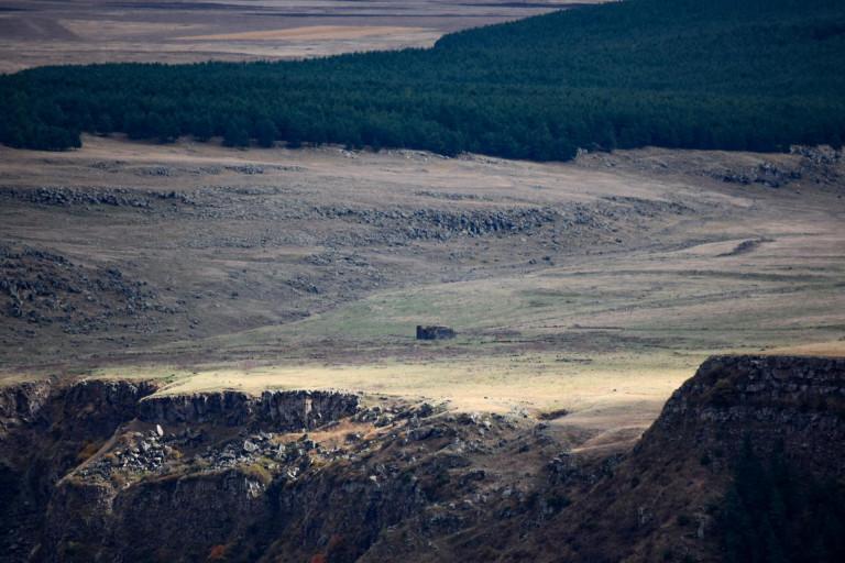
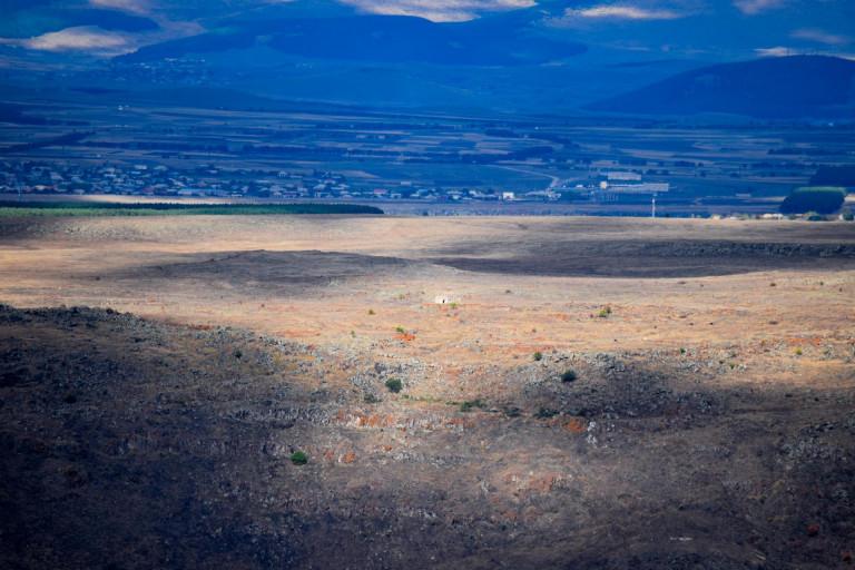
Samtskhe-Javakheti is located in the south of Georgia. Imereti and Kartli are bordered on the north, to the south by Turkey, to the west by Adjara - Guria. The region comprises 6 municipalities: Akhaltsikhe, Adigeni, Aspindza, Akhalkalaki, Borjomi and Ninotsminda. There are many volcanoes forms of relief in Samtskhe-Javakheti, they include Javakheti and Samsari ridges. The terrain reaches its maximum height at Samsari ridge, Mount Didi Abuli is 3305 m. The river Mtkvari is the main river here, which comes from Turkey. Its tributaries are Pkhovistskali and Paravnistkali. Javakheti is very rich with lakes, the largest lake Paravani in is situated here.
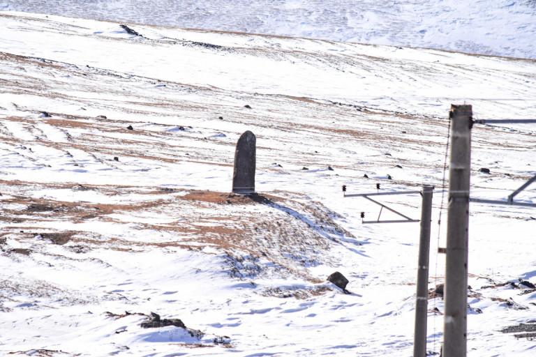
The landscape and climate of the region is diverse: mountainous terrain, several plateaus of volcanic origin, alpine and sub-alpine vegetation, numerous valleys and rivers, large and small lakes and swamps. In most of the region the summers are cool (+15 + 20 ℃), with little precipitation and cloudiness, with not much rains. The winters are cold and snowy. Winter is stronger in Javakheti. Snow cover reaches 40-50 cm in the highlands. The absolute minimum temperature is 40 degrees Celsius on Kartsakhi Lake.
What to see
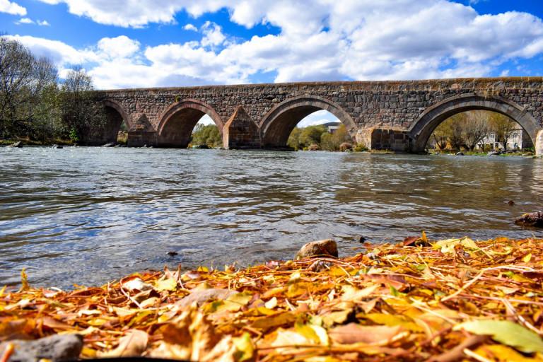
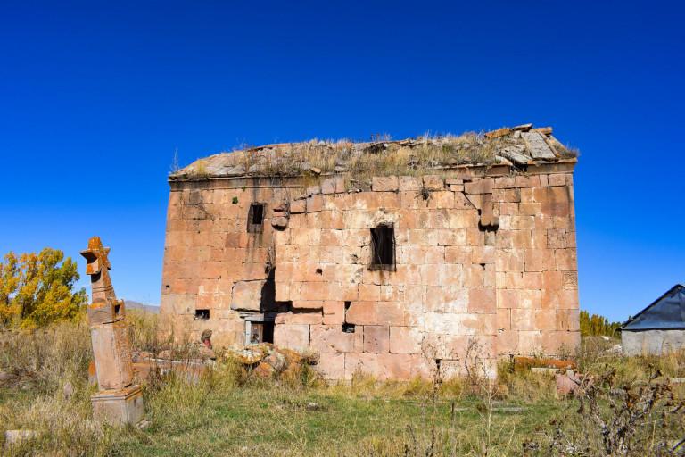
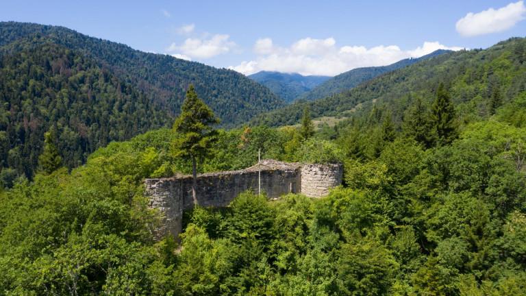
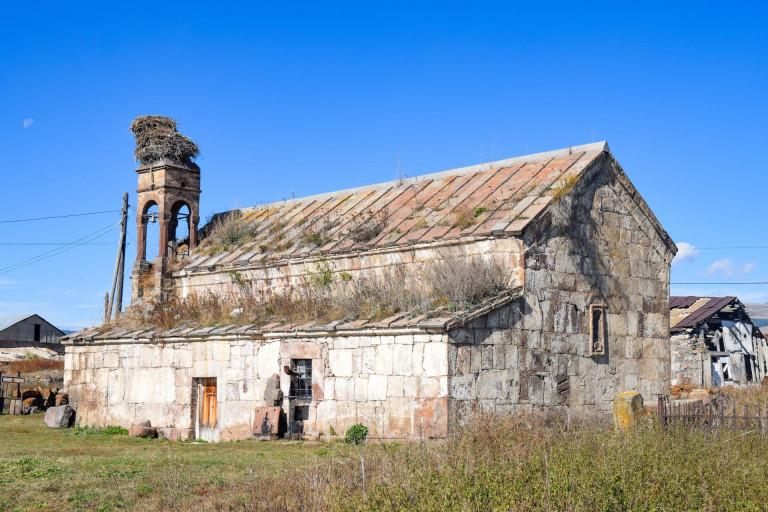
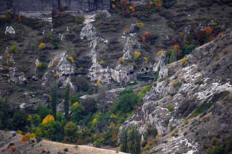
Samtskhe-Javakheti is an ancient historical region and it is called the cradle of Georgian culture. You can find cyclopean fortresses built by ancient civilizations, Christian monuments with architectural or fresco designs. When you travel to the homeland of Shota Rustaveli, visiting the fortresses, brings you back to life of the greatest Georgian poem “ The knight in panther’s skin” and the Kajeti castle, that is mentioned in the poem. Except the largest cultural heritage, Meskheti is rich with variety monuments. You can visit the beautiful lakes enjoy the cool valleys, the balneological, climatic resorts and the unique nature. There are endemic species of birds, animals and plants of the Caucasus and Georgia in Samtskhe-Javakheti, including the Red List species. This side is a real gold mine to observe the birds. There are obsidian, agate, coal mines here. You can also observe starts from Abastumani observatory.
Nature
- Borjomi-Kharagauli national Park
- Javakheti national park
- Paravani lake
- Saghamo lake
- Kartsakhi lake
- Khanchali lake
- Madatapi lake
- Levani lake
- Tabatskuri lake
- Kakhisi lake
- Tsero lake
- Mountain Didi Abuli
- Mountain Samsari
- Lomismta
Cultural monuments
- Abuli fortress
- Shaori fortress
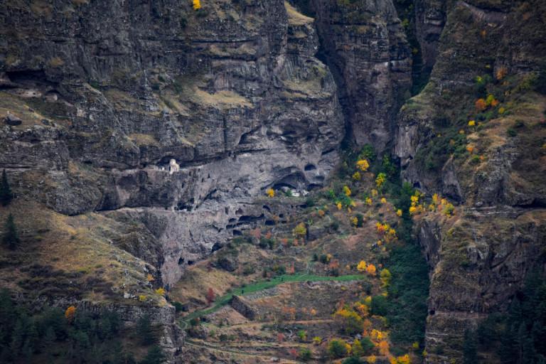
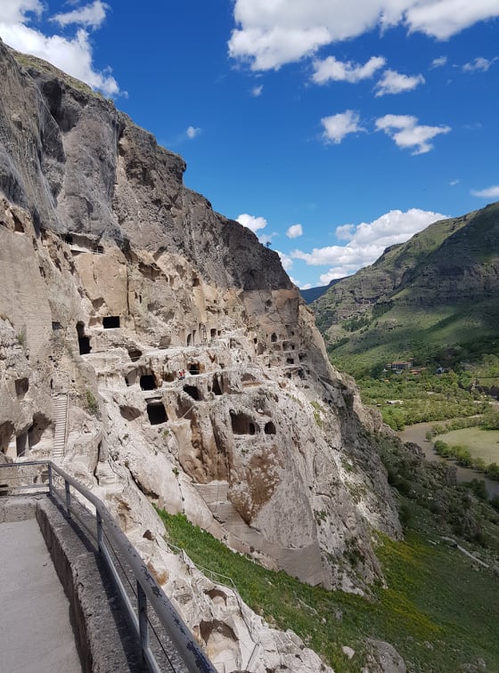
- Vardzia
- Vanis Kvabebi
- Zarzma monastery
- Green Monastery
- Safara Monastery
- Chule Monastery
- Timotesubani Monastery
- Tmogvi fortress
- Khertvisi fortress
- Zanavi fortress
- Oqros Tsikhe fortress
- Rabati fortress
- Meskhuri halls
Resorts
- Abastumani
- Borjomi
- Bakuriani
- Uraveli
- Cemi
- Cikhisjvari
- Tsaghveri
- Nakalakevi
- Aspindza
- Akhaltsikhe
- Tba
- Libani
Our guides are ready to help you on this trip
Book a tour online!
Buy our tours online and explore incredible Georgia!



























Where to stay In Samtskhe - Javakheti
Map

დიდად ვერ მოვიხიბლე თუმცა საინტერესოა!
ძალიან მომეწონა კარგი ინფორმაციაა👍 კარგი იქნება რომ დაამატოთ კულტურული ძეგლები.👍


Please login to ask a question
Ask a Questionრატომ აღმოჩნდა სამცხე ჯავახეთის ნაწილი
აააა
გამარჯობა ერთი კითხვა მაქვს, რატომ უწოდებენ სამცხე-ჯავახეთს საქართველოს სამხრეთცკარიბჭეს?
არა
მოგესალმებით ვარ საოჯახო სასტუმროს მფლობელი როგორ განვათავსო რეკლამა თქვენს გვერდზე
რა სამეურნეო და ეკონომიკური კავშირი ქინდა სამცხე ჯავახეთს ქართლთან?
მოგესალმებით, ორივე მხარეში მემინდვრეობა იყო განვითარებული
👍
მაინტერესებს სამცხე-ჯავახეთის მდგომარეობა მე-16 საუკუნეში
რატომ აკეთებედნენ სამცხეში ტერასებს?
რა სამეურნეო-ეკონომიკური კავშირი ჰქონდა სამცხე-ჯავახეთს ქართლთან
რატომ სჭირდება მიწათმოქმედებას მესაქონლეობა? და რა სარგებელს იღებს მისგან
რატო უწოდებდნენ ჯავახეთს საქართელოს სამხრეთ კარიბჭეს?
Mec eg mainteresebs da ver vnaxe
მეც მაინტერესებს
კონკრეტულად რამდენი და რა ადგილრბშია ბიუჯეტური მოგზაურებისთვის ჰოსტელები და რა ფასებში
სალამი, შეგვიძლია გირჩიოთ სასტუმრო: Home + წალკაში https://georgiantravelguide.com/ka/sastumro-home
კონკრეტულად რამდენი და რა ადგილრბშია ბიუჯეტური მოგზაურებისთვის ჰოსტელები და რა ფასებში
რა სამეურნეო-ეკონომიკური კავშირი ჰქონდასამცხე-ჯავახეთს ქართლთან და რატომ?
რატომ შეიცვალა სამცხე-ჯავახეთის საზღვრები საუკუნეების განმავლობაში?
მოგესალმებით, საუკუნეების განმავლობაში იცვლებოდა საქართველოს საზღვრები, მათ შორის სამცხე-ჯავახეთის. ხან გვემატებოდა მიწები და ზოგჯერ ომების შედეგად ვკარგავდით ტერიტორიებს. შესაბამისად სამცხე ჯავახეთის საზღვრების ცვლილებებიც ამ პოლიტიკური პროცესების ნაწილია.
სამცხე ჯავახეთის გარდა სად აშენებდნენ ბანიან სახლებს? რა მსგავსება და განსხვავებაა მათ შორის? მადლობა წინასწარ
რატომ აკეთებდნენ სამცხეში ტერასებს?
ტერასებს იყენებენ ისეთ სიტუაციაში როდესაც ნაკლებია სასოფლო-სამეურნეო მიწა.
მინდა რომ შევადგინოთ მარშრუტი კახეთიდან სამცხე ჯავახეთში და მინდა რომ მივიდე ბორჯომ ხარაგაულის ეროვნულ პარკში და რის შემდეგ რას გავივლი სად მივალ და როგორ მოვხვდები ბორჯომ ხარაგაულის ეროვნულ პარკში? იქნებ დამიწეროთ. მადლობა წინასწარ
მოგესალმებით, კახეთიდან ბორჯომ-ხარაგაულის ეროვნულ პარკში მოსახვედრად აუცილებელია ჩახვიდეთ ქალაქ ბორჯომშ. ბორჯომ-ხარაგაულის ეროვნული პარკის ადმინისტრაცია მდებარეობს ქალაქ ბორჯომში, მესხეთის ქუჩა 23-ში. ეროვნულ პარკში რამოდენიმე ბილიკია, მათ შორის არის ეროვნული პარკის საინფორმაციო ბილიკი, რომელიც არის მოკლე მარშრუტი და მისი გავლა 1.5 საათშია შესაძლებელი.
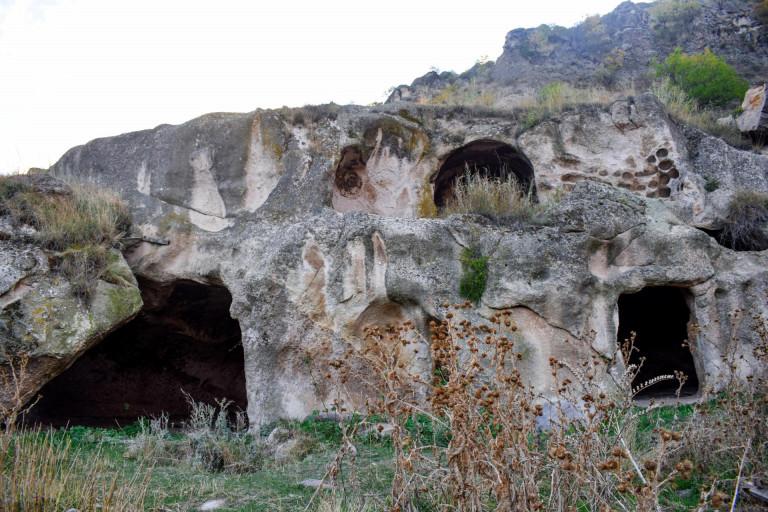
რით აიხსნება რომ სამცხე ჯავახეთში მრავალრიცხოვანი ციხე სიმაგრეების, კლდეში ნაკვეთი სამალავების, კომპლექსების არსებობა??
შემოსევების გაზრდილი რისკით. ისტორიულად სამხრეთ და აღმოსავეთ საქართველო უფრო ხშირად ხდებოდა მტრის მსხვერპლი.
მადლობა
სამცხე-ჯავახეთის ქალაქებიდან რომელია ტერიტორიულად დიდი
სამწუხაროდ არ არსებობს თითოეული ქალაქის ოფიციალური საზღვრების ელექტრონული მონაცემები, რათა შესაძლებელი იყოს ზუსტი ფართობის გამოთვლა და შედარების გაკეთება.