


Help other travelers use your experience.
Review this destination, share your thoughts, impressions, pros and cons.
Let's make traveling easier than ever.


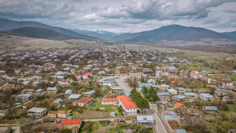
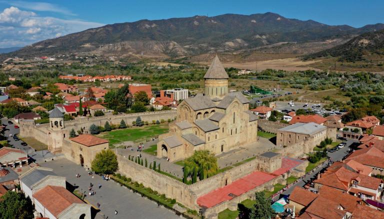
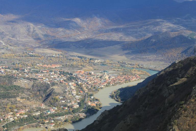
Mtskheta-Mtianeti is located in the eastern Georgia and includes following historical-geographic provinces: Khevi, Ertso-Tianeti, Pshavi, Khevsureti, Mtiuleti, Gudamakari and partly Ksniskhevi.
It is bordered by the republics of the Russian Federation to the north: North Ossetia, Ingushetia and Chechnya, to the east - the Kakheti region, to the south - Kvemo Kartli, Shida Kartli to the west. The administrative center of the region is Mtskheta. The following administrative units are included in the region: Akhalgori Municipality, Dusheti Municipality, Tianeti Municipality, Mtskheta Municipality, Kazbegi Municipality.
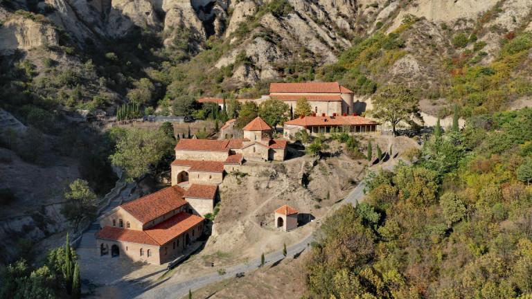
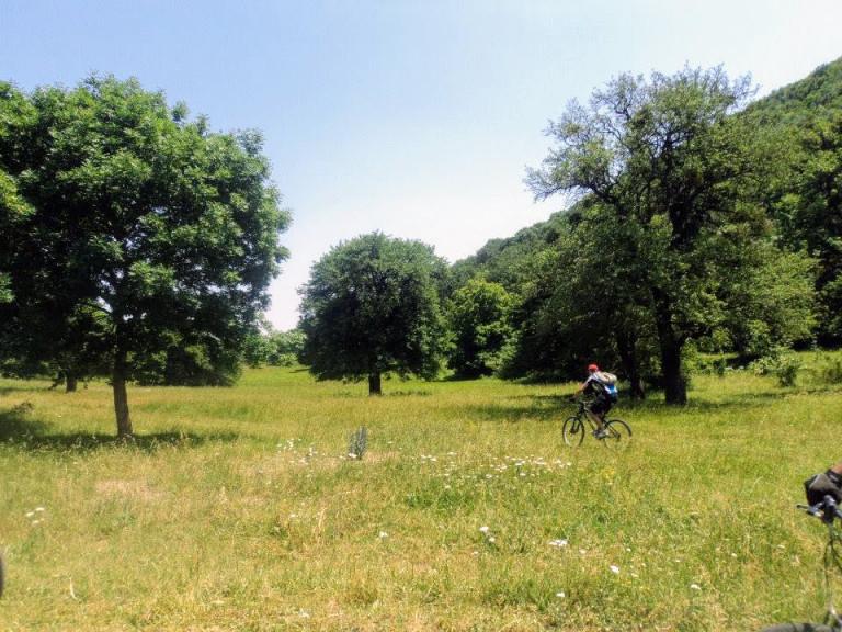
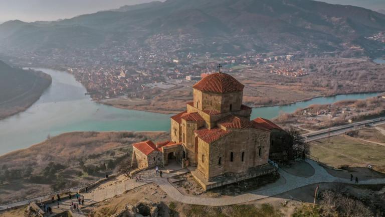
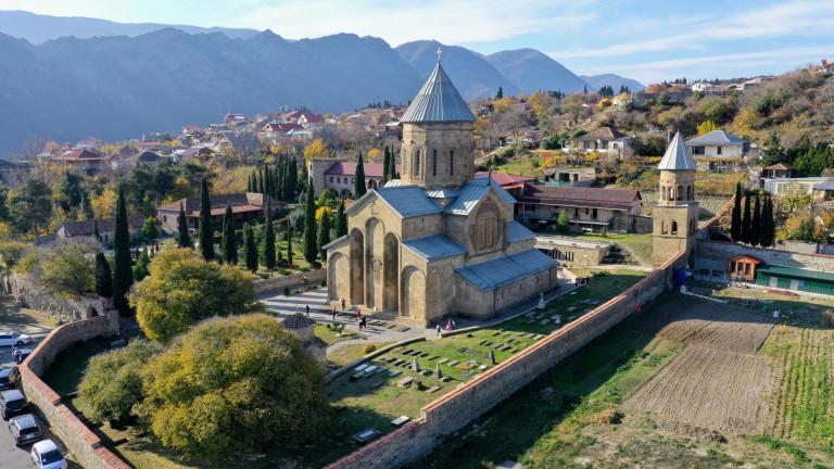
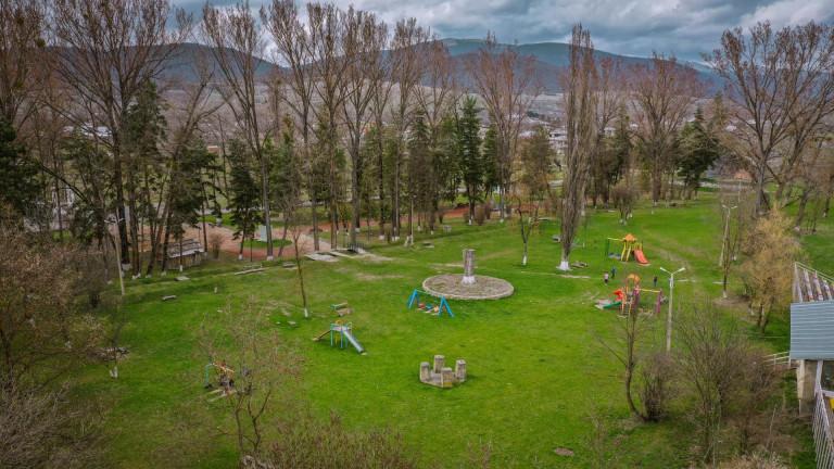
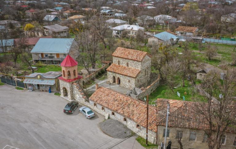
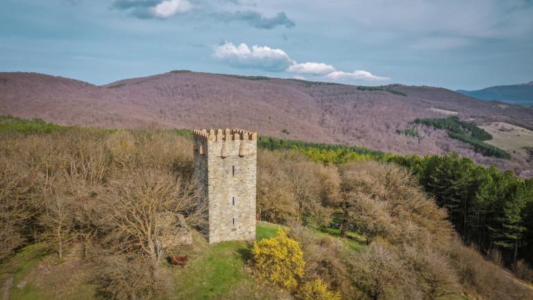
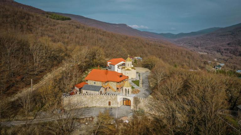
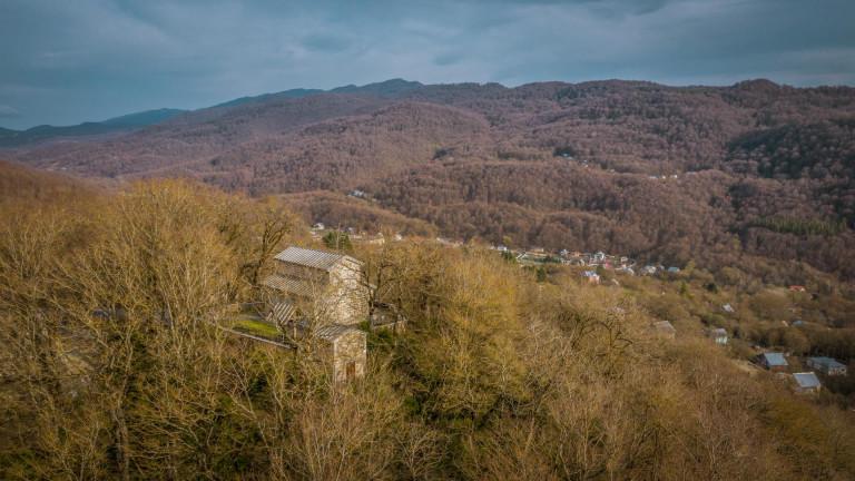
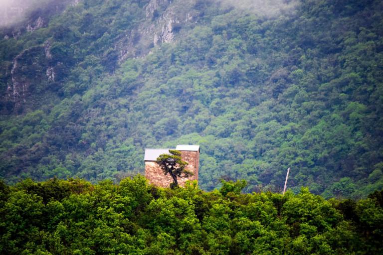
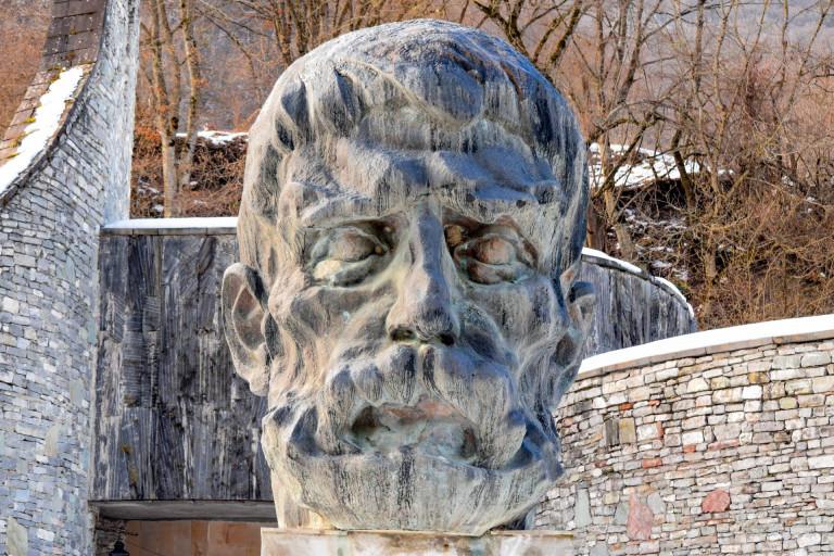
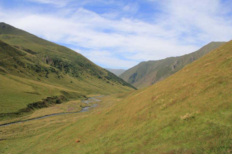
Mtskheta-Mtianeti is a very diverse region with its ancient history, rich with cultural monuments and incredible nature. The territory of Mtskheta was inhabited in the Early Bronze Age. The remains of ancient culture, Khevsurian banyan houses, towers, temples, rugs, beautiful ornamental clothes, peaks, rocks and lakes leave an unforgettable impression on visitors.
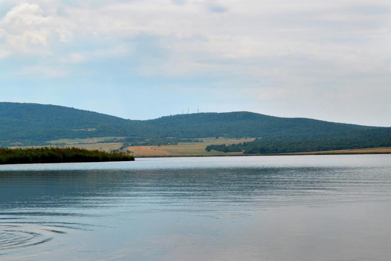
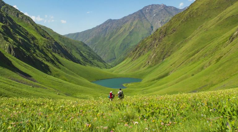
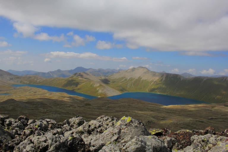
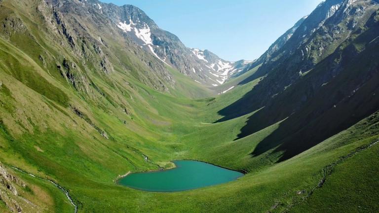
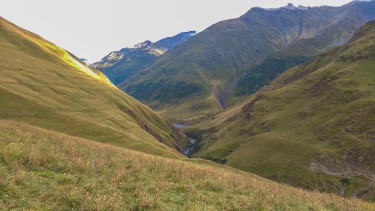
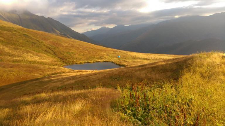
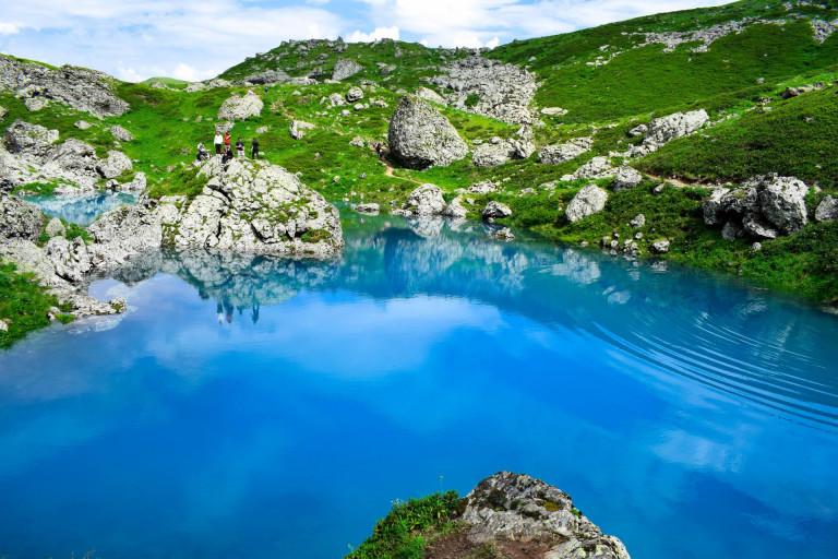
Saguramo, Pshav-Khevsureti and Kazbegi national nature reserves are located in the region. The Caucasus Ridge with peaks and passes of 3500 m and 5000 m is the main beauty of the region. In the lowlands of Mtskheta-Mtianeti, the climate is moderately humid. There are mildly cold winters and hot, long summers. The average annual temperature is 11, and in January it is below 0. There is a quite humid climate in the mountains, not so characterized for real summers, and above 3300-3400m - the fresh air with its snow and glaciers.
There are many religious days and different popular festivals are held during the year in the region, such as Lomisoba, Kopaloba, Lasharoba, Gergetoba and others. Mtskheta-Mtianeti cuisine is distinguished and diverse. The most popular traditional dishes are: Pshavuri Khinkali, Choban Kaurma, Dabalkhacho etc. The region is special with its rich folklore. Dancing, singing, folk poetry, legends, ancient cultural sites, interesting customs and impressive nature make this area unique.
Khevi is located on the northern slope of the Caucasus mountains, in Tergi valley and also contains the valleys of Truso, Baidari, Snowtskali and Dariali. Khevi is bordered by historical regions: east - Khevsureti, south - Mtiuleti, north - Ossetia, west - Shida Kartli highlands. The main river of the Khevi is Tergi. According to the territorial arrangement of modern Georgia, Khevi is part of the Kazbegi municipality and Stepantsminda is the center of it.
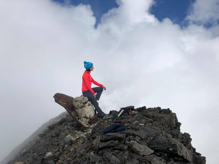
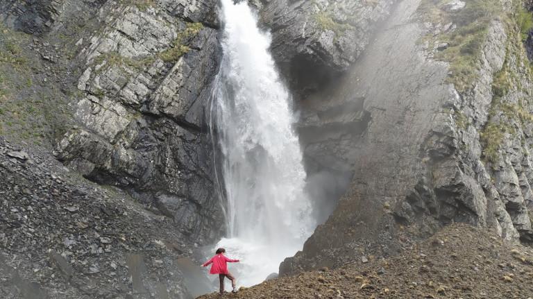
Khevi has been inhabited since ancient times. Kazbegi treasures are discovered here, which dates back to the VI-V centuries BC, associated with the religious cult of the ancient tribes of the Caucasus. There are many celebrations here, including Atengenoba, Spatangelozoba, Kazbegoba, Gergetoba, etc. The nature of Khevi is very impressive with its valleys, gorges, alpine lakes and the most important glorious Mount Kazbek.
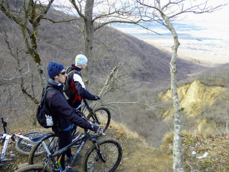
There are many interesting cultural monuments in this area, such as ancient ruins, towers, icons and temples. The Gergeti Trinity church attracts peoples’ attention the most. Besides its cultural significance, it is impressive and stunning with its unique landscapes. Khevi is a real paradise for hikers, climbers and just mountain lovers.
Ertso-Tianeti includes the upper side of River Ivri (Tianeti district). Ertso-Tianeti was administratively part of the Kingdom of Kakheti. Due to its favorable geographical location, Ertsan-Tianeti had great strategic and economic importance. Also, one of the branches of trade route passed here, which was the connection between the former feudal state of Kartli to Albania (Caucasus) and Armenia. In the 13th century, Mongols invaded Ertso-Tianeti several times. In the 15th century, after the political collapse of the feudal state of united Georgia, Ertso-Tianeti became one of the Samouravo (The part of national feudal domain) of Kakheti kingdom. The economic interests of Pshav-Khevsureti population were mainly related to Ertso-Tianeti, that’s why it is mostly inhabited by mountainous Georgians. With modern administrative-territorial divisions, Ertso-Tianeti is included in Tianeti region of Mtskheta-Mtianeti region.
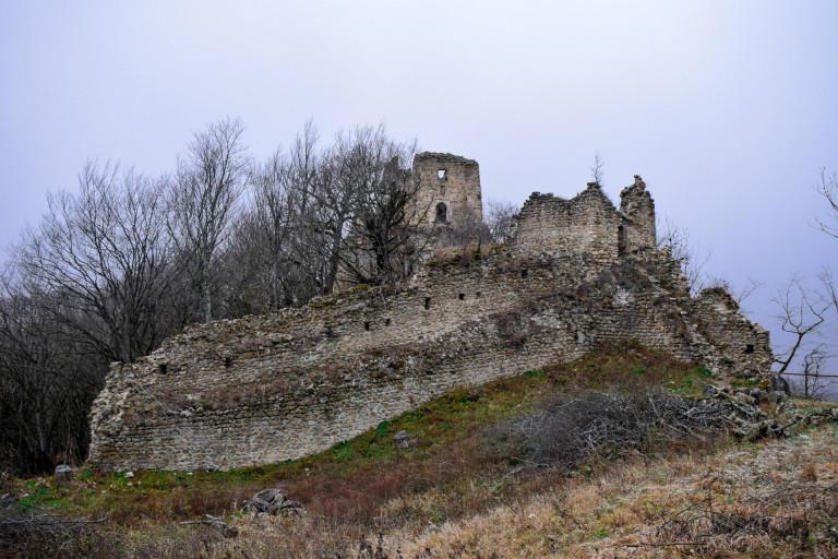
The territory of Tianeti municipality is medium high-mountain. Most of the territory is occupied by highlands and foothills. The main river is the Tianeti River with the Iori River and its numerous tributaries. The Sioni water reservoir is also located here. Several small lakes are also found. The most important is the Grdzelvelebi Lake. This region is rich in cultural monuments: Tshrakara, Bochorma Castle, Jaleti church of St. George etc.
Pshavi together with Khevsureti was historically called Pkhovi. It is located in the Aragvi Gorge and covers today's Dusheti district. The borders are: to the north-east - the main ridge of the Caucasus, which separates it from Tusheti and Piraketa Khevsureti, to the west - Piraketa Khevsureti, Gudamakari, Khando and Chartali, to the south - Shida Kartli, to the east - Ertso-Tianeti. Pshavi is divided in two parts: from the source of Aragvi to Ortskali, there is back Pshavi community, in the lower part of Aragvi, is Magharoskari community.
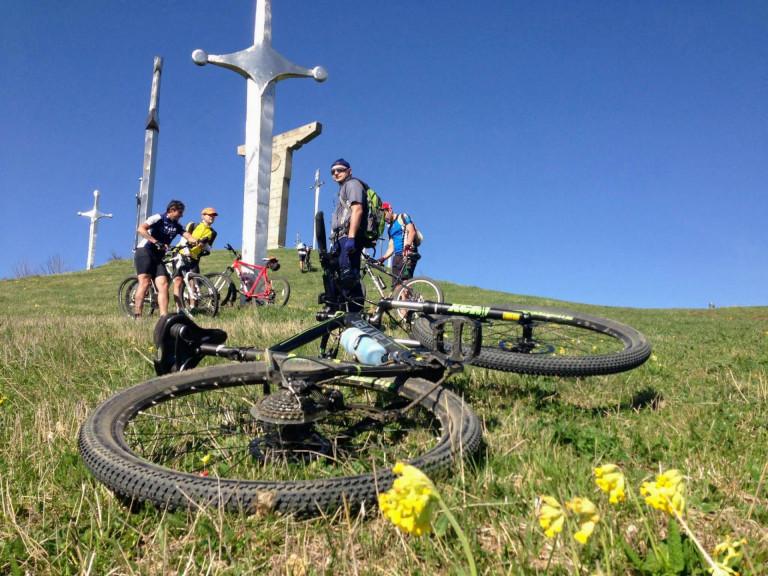
Pshavi belonged to the Kakheti province, but with modern administrative-territorial divisions, the whole territory of Pshavi belongs to Dusheti district of Mtskheta-Mtianeti region. The nature of Pshavi is beautiful and inspiring. Perhaps this is one of the reasons that Pshauri poetry has an important role in Georgian folk poetry. The greatest Georgian poet, writer, thinker and publicist Vazha-Pshavela (Luke Razikashvili) was from the village of Pshavi, Chargali. People celebrate Vajaoba here. There are many cultural monuments in Pshavi: temples, icons, towers and so on. The most famous shrines are the Lashari Cross and the Ghele (The shrine of Tamar).
Khevsureti is located on the northern and southern slopes of the Caucasus Range in the highlands of eastern Georgia. The ridge of the Caucasus divides Khevsureti into two parts: the north-eastern side, which is also called Pirikita Khevsureti and the southwestern side, called Piraketi Khevsureti. Pirikita Khevsureti consists of the valleys of Shimkhevi, Shatili and Arkhoti, Piraketi - Aragvi gorge.
Khevsureti is bordered by Chechnia and Tusheti to the east side, to the south by Pshavi, to the west by Khevi and Mtiulet-Gudamakari, to the north by Ingusheti. Khevsureti is a mountainous area, which has deep ravines. Khevsureti also has mineral waters called Vedzas which includes Likokis Vedza, Gudani water, Nadirkhevi Vedza, Khakhmat and Ghuli Vedza. Pshavi and Khevsureti were historically mentioned as Pkhovi. In the 11th century, Khevsureti, Chechnya and Ingushetia were administratively included in the Kakheti region and were under Kvetari Saeristavo’s control. The Khevsurian worrier character could not tolerate to obey others and they rebelled to George I (1471-1492) in the 15th century.
The king of Kakheti, Levan (1520-1574) managed to reconcile Khevsuti, Pshavi and Tusheti without any blood. Historically, the Khevsurian people have always stood with Georgia and have been a strong force during the fights against the enemies. With the modern administrative-territorial divisions the entire territory of Khevsureti is included in the Dusheti municipality of Mtskheta-Mtianeti and is divided into two categories: Khevsureti and Shatili. Khevsureti mountains alpine lakes and valleys are very interesting for travelers and hikers. The area is also interesting with cultural sites. The villages of Shatili and Mutso are the most incredible and stunning.
Mtiuleti includes Aragvi river valley and the ravines next to it - Amirtkhevi, Kharkhalkhevi, Chokheltkhevi, Khadiskhevi etc. Its extreme southern border was Mtultkari, to the north by Truso Gorge, to the east by Gudamakari, to the west by Lomisi Ridge. There are many valleys in Mtiuleti. The main is Aragvi Gorge of White (Mtiuleti) and Black (Gudamakari). Mtiuleti was called Tskhavati community firstly, Khada-Tskhavati from XIII century and Mtiuleti included Khando too.
In the 50s of the XIX century, the Arab armies with general Buga reached Tskhvati but the people expelled enemy. Mtiuleti was in Aragvi Saeristavo until 1742. According to administrative-territorial divisions, Mtiuleti is part of Dusheti municipality. Mtiuleti is rich with natural beauty and cultural monuments. Mountains and waterfalls, Khada valley towers, Lomisi temple constantly attract the visitors.
Gudamakari is located in the Aragvi Gorge of the Gudamakari River. Mtiuleti is bordered to the west side, to the north - Khevi, on the east - Khevsureti and Pshavi, on the south - Khando and Chartali. Gudamakari is separated from Khevi with the main ridge of the Caucasus, and from Pshav-Khevsureti - Gudamakari ridge. The border between Kartli and Kakheti kingdoms was on this ridge. Leonti Mroveli (11th c.) mentioned Gudamakari people in the Christian history of Kartli (IV c).
In feudal period, Gudamakari was included in Aragvi Saristavo. Gudamakari hamlet is mentioned in the documents of 1071-1080. In the 19th century it was part of Dusheti Mazra. According to modern administrative-territorial divisions, the area of Gudamakri is included in the Mtskheta-Mtianeti region, in Dusheti municipality, in Gudamakri community. The famous Georgian writer Goderdzi Chokheli is from the village of Gudamakari, Chokhi. There is also one of the main shrines in the village of Chokhi - the Angel of Pirismze. Pirismzeoba is the most popular festival here. You can find beautiful nature and interesting monuments in Gudamakari.
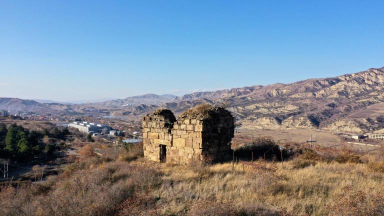
Ksniskhevi includes the Ksani Gorge and its tributaries: Tskhradzma, Churta, Tskhavaturiand Aleuri gorges. It is bordered with the village of Mukhrani to the south, the northern border is the Lake of Keli, on the northeast by Mtiuleti, on the southeast by the Dusheti district (Aragvi Gorge), and on the west by the historic Shida Kartli. Ksniskhevi historically belonged to the kingdom of Kartli with the status of Ksnis Saeristavo and it was ruled by the Ksani Eristavi.
Ksniskhevi administrative-territorial center was represented by Kvenifnevi, Largvisi and Akhalgori during different periods. The Ksani Eristavi also had their residence and palace in the village of Ikorta (now Ikoti). Currently Ksniskhevi covers Akhalgori district, as well as several villages of Dusheti and Mtskheta districts. The terrain is mostly mountainous here. You can find beech, oak and hornbeam and other leafy forests, as well as sub-alpine and alpine meadows. This area is also interesting with its cultural sites. Monastery of Kabeni, Largvisi Monastery, Tsirkoli Castle and Tskhmori Castle are great idea to visit.
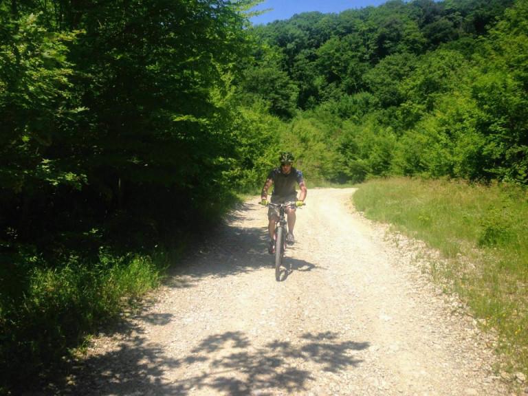
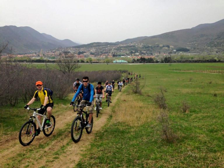
Mtskheta-Mtianeti is rich with cultural monuments of different periods and excellent nature. You can find pre-Christian towns, Khevsurian banyan houses, castles and temple here. The valleys, lakes, waterfalls, mineral springs, vast fields and peaks are tremendous pleasure and adventure for travelers, adventurers and extremists.
Our guides are ready to help you on this trip

Buy our tours online and explore incredible Georgia!


Help other travelers use your experience.
Review this destination, share your thoughts, impressions, pros and cons.
Let's make traveling easier than ever.
Please login to ask a question
Ask a Question