Mtskheta Municipality is located in
Mtskheta-Mtianeti region of eastern Georgia. The area was still inhabited during the Bronze Age, as indicated by the settlements of Samtavro, Tsitsamuri, Narekvavi and other settlements. From the beginning of the I millennium BC, the great shifts characteristic of the life of the largest political entity in the East have also reflected on the history of Mtskheta. The strong cultural invasion of Mtskheta significantly affected the life of the city until the III - IV centuries. According to legend, the city was founded by the ethnarch Mtskhetos. From the end of the IV century BC Mtskheta was the political center of the newly created Kartli (Iberian) kingdom. According to legend, Nino, a missionary from Jerusalem, preached Christianity in Mtskheta at the beginning of the IV century. In 326, Mirian III adopted a new religion and Christianity became the state religion. According to legend, by the prayer of St. Nino hurricanes and hail broke out and crushed Armazian idols. At the beginning of the VI century Dachi Ujarmeli moved the capital from Mtskheta to Tbilisi. Mtskheta has lost its political significance, though it has remained a religious center. In the early medieval period, there was an active rebuilding of cult buildings in the city. Samtavro, Jvari, Antioch and more were built during this period. In 736-738, the Arab Commander-Marwan the deaf raided the city and destroyed Armazi Fortress. At the beginning of the XV century it was destroyed by Temur lang. The importance of Mtskheta gradually diminished and after the accession of the Kingdom of Kartli to Russia, it was a small village in the Dusheti Mazra. Mtskheta became a separate district in 1930-34, today it has the status of a city and a municipality. The Transcaucasian Railway runs through the municipality territory, as well as the first hydroelectric power station in Transcaucasia - Zahesi. Agriculture is developed in the region, the main fields are: horticulture, viticulture, fruit-growing, livestock, cereal crops. There are 1 theater, 4 museums and 41 libraries in Mtskheta municipality. There are numerous monuments of historical and cultural importance in the territory of the municipality. Cultural monuments of Mtskheta are included in the UNESCO World Heritage List. The region is also distinguished by the beauty of nature. The diverse culture and wonderful views of different times leave no one indifferent and attract many tourists.
Geography and Climate
Mtskheta Municipality is located in
Mtskheta-Mtianeti region of eastern Georgia. Its administrative center is the city of Mtskheta. The municipality is bordered by
Sagarejo municipality to the east,
Kaspi municipality to the west,
Dusheti and
Tianeti to the north,
Gardabani and
Tetritskaro municipalities and also
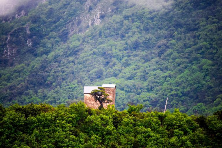
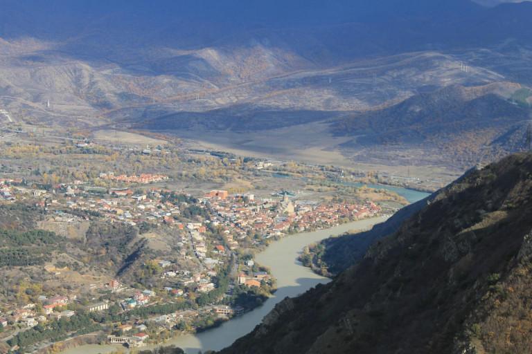
Tbilisi to the south. The region is characterized by a variety of natural conditions. The territory of Mtskheta is a low and mid-mountain region. In its southern part the Saguramo Ridge is carved, to the south-east is raised the Satskepela Ridge. Its eastern end is called the Armazi Range, which is 1125 m high. There is a hillock of Skhaltbi between the rivers Ksani and Aragvi. One of the main morphological elements of the municipality is the plain of Mukhrani-Saguramo. The Mtkvari River flows on the territory of the district, the main tributaries of which are: Khekordzula, Aragvi and Dighmistskali. There are also lakes in the region. Mtskheta is distinguished by its diversity of flora and fauna. Saguramo Nature Reserve includes Caucasian deer, Capreolus, brown bear, wolf, fox, lynx, rabbit, otter and more. There is moderately humid subtropical climate in Mtskheta municipality. There is moderately humid climate with hot summers and cold winters on Mukhrani-Saguramo plain. Average annual air temperature is 10.8 ° C and -1.1 ° C in January. On the ridges of Skhaltbi and Saguramo, there are mild cold winters and long warm summers.
What to see
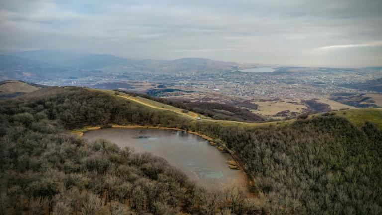
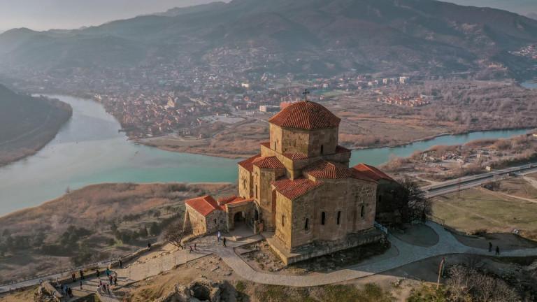
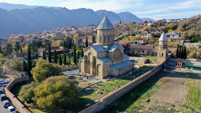
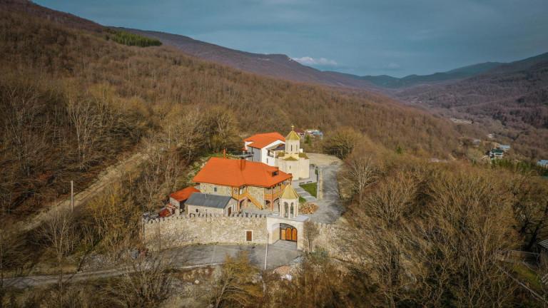
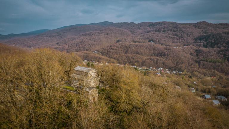
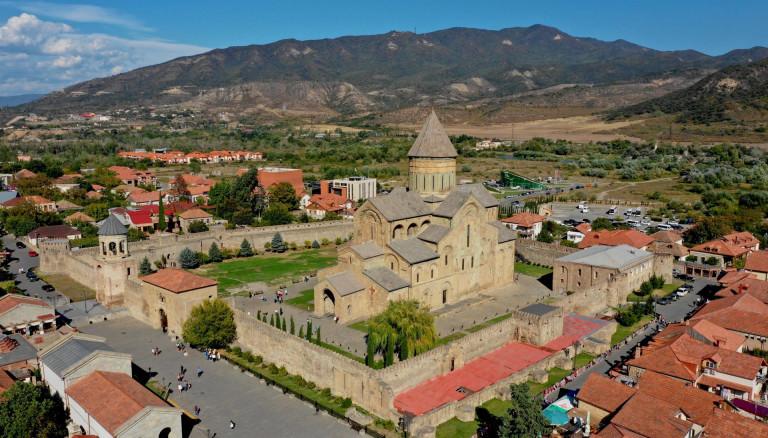
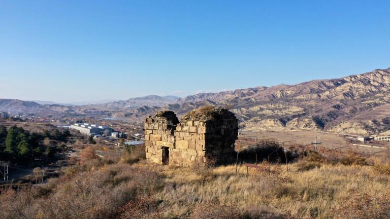
Mtskheta municipality is distinguished by its abundance of cultural monuments and diversity of nature. In the region are located Tsodoreti and Mukhatgverdi Lakes. You can plan interesting routes on the Saguramo Reserve and Mtskheta ridges, where you will enjoy beautiful forests and views. One of the popular routes is Mtskheta-Armazi fortress trail. During this simple, one-day excursion you will find both diverse, beautiful sights as well as monuments of historical-cultural significance. Mtskheta municipality has many important monuments of different periods, with distinctive architecture and mural patterns of historical significance. A multi-layered group of burial vault of Samtavro and settlement, Armazistsikhe-Bagineti, where you will find pagan temples, antique palaces and other interesting artifacts (Also beautiful views of Jvari and Svetitskhoveli), Armazi Fortress, Bebri Fortress, impressive, legendary Svetitskhoveli,
Jvari Monastery which is located on the mountain, Samtavro Monastery and many other churches and fortresses are prominent examples of the development of Georgian culture and leave a great historical past in sight. There is an archaeological museum in Mtskheta, with a wide variety of materials from the Early Bronze Age to the developed medieval period. Mtskheta municipality offers interesting impressions to both people interested in culture and nature lovers.
Nature
● Saguramo Reserve
● Tsodoreti Lake
● Mukhatgverdi Lake
Cultural Monuments
● Svetitskhoveli
● Samtavro Monastery
● Armazistsikhe-Bagineti
● Armazi St.Mary's Church
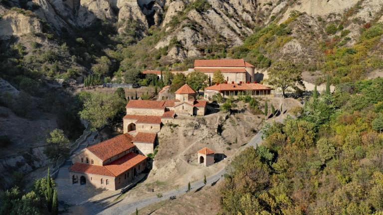
● Shiomghvime Monastery Complex














Please login to ask a question
Ask a Question